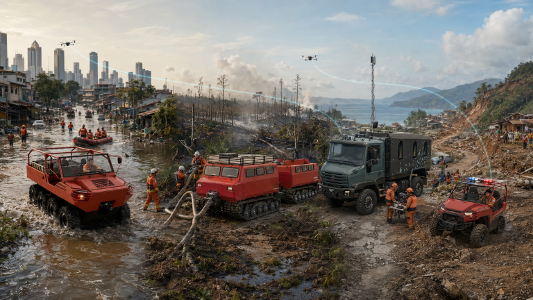











BNPB’s official 2025 compilation records 1,329 forest and land fire events, the second-largest disaster category after floods. In August 2026, the challenge became immediate again. Indonesia’s Ministry of Forestry reported that 12,880 combined personnel had been involved in the Kalimantan operation by 21 August, with Manggala Agni, communities, volunteers, TNI, Polri, BPBD, regional government and other elements working together.
The same official reporting explains why karhutla cannot be treated as an air-operation problem alone. Ground teams perform monitoring, patrol, suppression, wetting and cooling. Water bombing reinforces them, but smoke can restrict aviation and surface water becomes scarce during prolonged dry conditions. The operational bottleneck is often the connection between detection and sustained ground action.
The five breakpoints in the current field chain
1. A hotspot is visible, but field confirmation is slow
Satellite or aerial detection can prioritize an area, but responders still need to verify the location, access route, fire behaviour, water source and exposure. If this confirmation is captured in calls, separate messaging groups and non-aligned maps, the incident picture changes faster than the command process.
2. Conventional vehicles stop at the roadhead
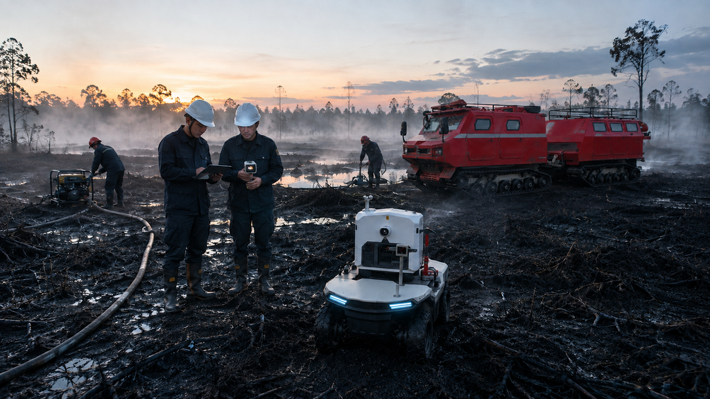
Peat, swamp and wetland terrain can carry people one moment and immobilize a heavy wheeled vehicle the next. Personnel may then carry pumps, hose, fuel, food and protective equipment for kilometres. The team arrives tired, water establishment is delayed and resupply becomes a second operation.
3. Water exists in the plan but not at the nozzle
The field requirement is a continuous chain: verified water source or borehole, pump availability, fuel or power, hose route, relay points, pressure and maintenance. A failure anywhere in that chain can halt suppression. As the 2026 Kalimantan response demonstrated, declining surface water availability is itself a strategic constraint.
4. Many teams are working, but the same picture is not shared
Large operations require Manggala Agni, BPBD, local government, TNI/Polri, communities, volunteers and air assets to coordinate without erasing their institutional roles. The incident commander needs to know sector ownership, team position, water status, hazards, completed tasks and changing priorities. Voice reports alone do not provide a durable operational record.
5. Extinguishment is declared before the area is operationally closed
Cooling, monitoring and return inspections are essential. A fire that is no longer visible at the surface may require continued field attention. If thermal observations, wetting work, return tasks and handover are not recorded against the same location, re-ignition risk becomes an information-management problem as well as a fire problem.
A connected ground system in six moves
Move 1 – Prepare before the dry season
Map priority peat and forest zones, access routes, roadheads, canals, boreholes, surface-water points, community resources and safe staging areas. Pre-position interoperable packages rather than loose equipment. Load offline maps and standard task templates into regional SAE nodes. Rehearse who can authorize local action when public connectivity or higher command links are disrupted.
Move 2 – Fuse detection with field verification
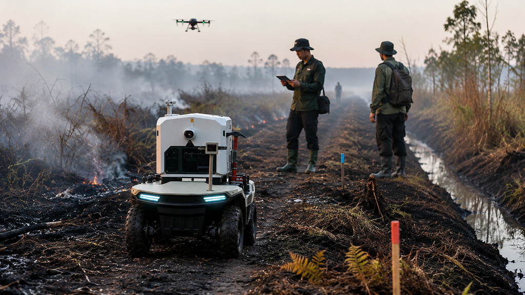
Use authoritative hotspot and weather information, UAV reconnaissance and field reports to create a verified incident object. The object should carry location, time, confidence, access, hazards, water prospects, assigned owner and next review time. The objective is not to aggregate every available feed. It is to turn selected information into an accountable task.
Move 3 – Establish the field network and common picture
Deploy a vehicle-mounted or portable SAE edge node at the staging point. Connect approved radios, mesh nodes, satellite or private-network links according to terrain and availability. Maintain an offline-capable common picture showing teams, vehicles, pumps, water points, hose routes, UAV/UGV feeds, hazards and task status. Essential coordination continues locally if the external connection fails.
Move 4 – Match mobility to the ground
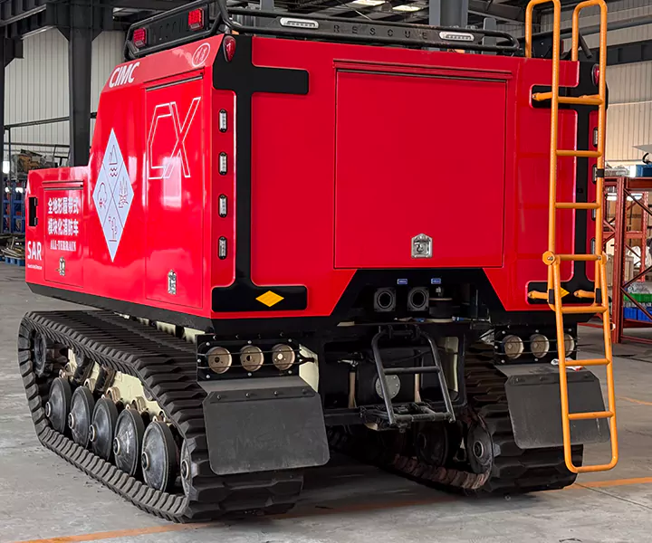
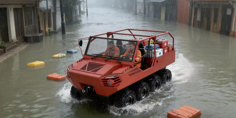
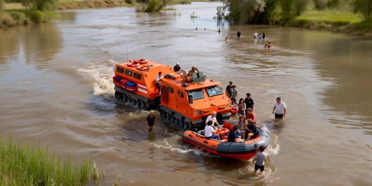
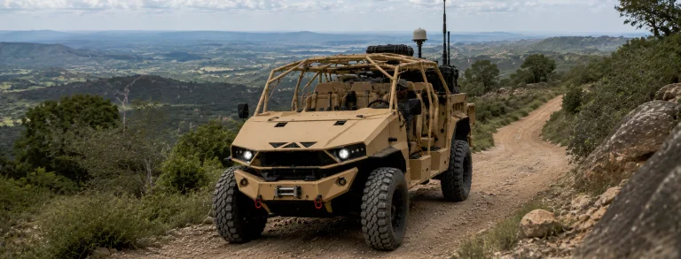
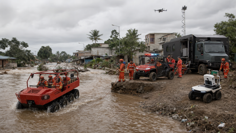
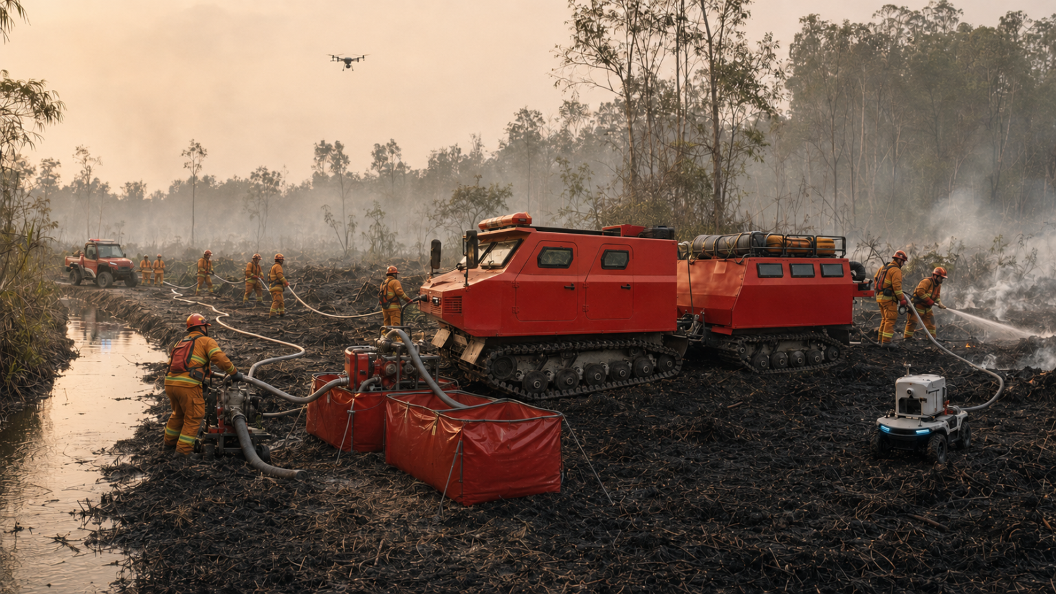
Use low-ground-pressure tracked or amphibious platforms where conventional wheels cannot carry the payload safely. BN117-family platforms can transport personnel, pumps, water or mission modules into soft terrain. An 8×8 amphibious utility platform can connect wet approaches, field energy and communications. Fire-rescue UTVs, compact mobility, Delta 150 4×4 electric UGVs, tracked carriers and other unmanned systems extend the operation into narrow, soft or higher-exposure sectors.
The platform is not the solution by itself. Its value comes from placing the correct payload, team and information node at the correct point in the water and suppression chain.
Move 5 – Sustain suppression as a system
Track pump availability, hose route, water continuity, fuel or charging, crew rotation, protective equipment, medical support and resupply tasks in the same operational picture. A mission module may carry pumps, flexible tanks, hose, lighting or energy. The command cell can see not only where a vehicle is, but what capability is currently serviceable and assigned.
Move 6 – Close the incident with evidence
Record cooling areas, thermal or visual observations, return inspections, remaining hazards and handover responsibilities. After the operation, replay route, task and equipment data with the team. The goal is a better next deployment: improved staging, revised water plans, different platform mix, stronger communications or a clearer trigger for reinforcement.
What SAE contributes – and what it does not replace
SAE is the field coordination layer. It can maintain the local common picture, team and asset accountability, tasking, selected video or sensor feeds, route and hazard updates, and an incident record across degraded networks. Open interfaces are intended to connect approved third-party radios, sensors, UAVs and UGVs.
SAE does not replace the authority of BNPB/BPBD, the technical leadership of forestry fire institutions, BMKG weather information or national data platforms. It connects the downstream execution chain under Indonesian command.
A reference peatland response package
| Capability cell | Typical components | Operational purpose |
| Reconnaissance and verification | UAV/thermal input, compact UGV, field terminal, standard incident form | Confirm location, access, hazard and water prospects |
| Coordination and communications | SAE edge node, approved radio/mesh, satellite/private-network option, local display | Maintain the common picture and task flow through degraded infrastructure |
| Access and lift | BN117/other tracked platform, amphibious 8×8 where appropriate, UTV and compact mobility | Move people, pumps, hose, energy and supplies beyond the roadhead |
| Suppression and water | Pumps, hose, flexible storage, water/agent module, borehole and relay plan | Establish and sustain water-on-peat |
| Safety and unmanned work | Personnel tracking, SOS, thermal/gas input, firefighting robot or UGV where required | Reduce exposure and maintain evacuation accountability |
| Sustainment | Field power, charging, lighting, medical support, food, fuel, spares and maintenance | Keep the operation effective over multiple shift |
A pilot that can earn national confidence
The proposed reference theatre is a peatland area in Kalimantan or Sumatra, selected jointly by BNPB, the Ministry of Forestry, relevant BPBD and operational teams. The pilot should include a wet-season mobility and communications test, a dry-season field exercise, live integration with approved data sources, multi-shift sustainment and an after-action review.
The decision at the end should not be whether one vehicle performed well. It should be whether the whole ground chain – detection, verification, access, water, coordination, safety and closure – became more reliable and repeatable.
Indonesia’s karhutla response already demonstrates extraordinary commitment. A connected ground system is a way to help that commitment travel farther: from a national hotspot picture to a named team, from the roadhead to soft peat, and from first suppression to verified operational closure.
Any Terrain. Any Mission. One System. Powered by SAE.
Explore JINJIA solutions
- Next-Generation Wildland Firefighting Solutions: https://responsemobility.com/solutions/
- Situational Awareness System: https://responsemobility.com/situational-awareness-system/
- Tracked Utility Vehicle: https://responsemobility.com/tracked-utility-vehicle/
- Unmanned Ground Vehicle: https://responsemobility.com/unmanned-ground-vehicle/
Sources and editorial notes
- BNPB – Kompilasi Data Kejadian dan Dampak Bencana 2025 – 1,329 forest and land fire events in the official national recap.
- Ministry of Forestry – 12,880 personnel in the Kalimantan karhutla operation, 21 August 2026 – multi-agency ground operation and Manggala Agni deployment.
- Ministry of Forestry – Tumbang Nusa field review, 19 August 2026 – ground force priority, aviation constraints, water-source limitations and interagency communications.
- Jinjia – Emergency Response Solutions and Situational Awareness System – system and SAE capabilities.