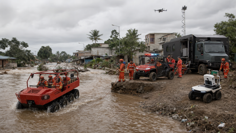











A road can be officially open while communities remain underserved. After the 2026 Flores earthquake, the Ministry of Public Works recorded 94 damaged road and bridge points, yet reported that 15 affected national-road sections were generally functional. On 1 September, the NTT Governor still said some evacuation locations were not optimally reached because of access constraints. The operational gap lies between corridor reopening and repeatable delivery to each endpoint.
What the Flores evidence actually says
One week after the main shock, the Ministry of Public Works reported 94 damaged road and bridge points: 75 landslide locations, three subsidence points, and 16 bridges or culverts. Field teams had inspected 34 landslide points and nine bridges or culverts. The ministry said 15 affected national-road sections were generally functional and that logistics and fuel movement continued.
That was an important recovery achievement, but it did not close the access problem. On 1 September, NTT Governor Melki Laka Lena said aid should reach every evacuation point and warned against assistance concentrating in one location while other communities remained underserved. He specifically noted that several areas were still not optimally reached because of access constraints.
Both statements can be true. A national corridor may function while a village road, damaged local bridge, steep final approach, turning area or unloading point remains unsuitable for a particular vehicle and payload.
The four-layer access model
| Layer | Question | Typical failure |
| 1. Gateway | Can aircraft, ships and bulk trucks reach the island or regional entry point? | Terminal damage, berth limits, flight disruption, fuel or handling constraints |
| 2. Main corridor | Can relief move between ports/airports and district hubs? | Landslides, subsidence, bridge restrictions, congestion |
| 3. Feeder route | Can vehicles move from the hub to a village or evacuation cluster? | Narrow roads, weak bridges, sharp turns, debris, slope instability |
| 4. Endpoint | Can the right load be delivered, unloaded and the vehicle safely recovered? | No turnaround, unsafe crowds, soft shoulders, no receiving team, incomplete site data |
A mission is complete only when the required service reaches the endpoint and the team returns safely. Counting tonnes dispatched from a national hub is necessary, but it is not the same as measuring delivery completeness at every evacuation site.
Replace ‘road open’ with a route card
Each active route should have a short, time-stamped operational card. The card should be updated after significant aftershocks, heavy rain, new landslides, engineering work or a change in vehicle class.
Route identity: origin, destination, coordinates and responsible authority.
Physical status: surface, width, gradient, overhead clearance, turning radius and damaged structures.
Capacity: permitted vehicle mass, axle/load restrictions and convoy spacing, confirmed by the competent authority.
Reliability: last verified time, expected closure windows, aftershock or weather sensitivity, and alternate route.
Mission fit: payload, number of passengers, medical urgency, unloading method and required return time.
Recovery: tow/winch point, recovery vehicle, communications check-in and abort criteria.
Where specialised mobility fits in the chain
| Capability | Potential role | Mandatory boundary |
| Conventional truck | Bulk movement on cleared main corridors | Use only within published bridge, road and loading limits |
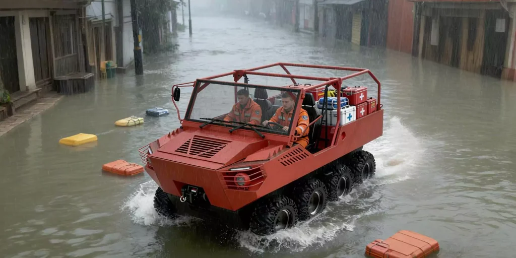
| High-mobility 4×4 | Personnel, tools and priority loads on verified rough feeder routes | Not a substitute for slope stabilisation or bridge inspection |
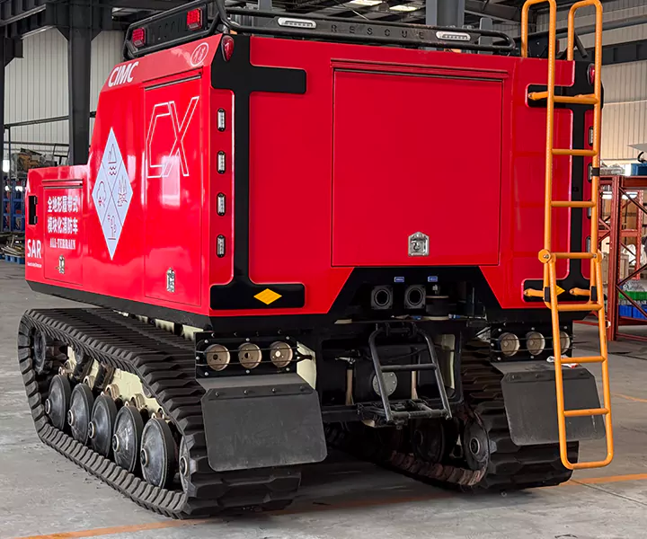
| Compact UTV/light platform | Short, narrow final approaches and repeated small deliveries | Payload, rollover risk, braking, road legality and recovery must be validated |
| UGV | Controlled route observation or light resupply where human exposure is unnecessary | Requires communications, obstacle, dust/rain, autonomy and retrieval tests |
| SAE-style field layer | Route, site, team, asset and delivery-status visibility | Does not replace official command systems or provide connectivity by itself |
A delivery-completeness dashboard
For each evacuation point, track a small set of outcome indicators: population currently present, verified needs, time of last delivery, next scheduled delivery, water and food status, health referral status, route confidence, assigned vehicle, proof of receipt and unresolved exception. This turns ‘we sent aid’ into ‘this site received the right aid at this time.’
The dashboard can be digital, paper-based or hybrid. In degraded communications, local teams should continue recording tasks offline and synchronise later. The essential requirement is one agreed identifier for each site and a clear owner for every unclosed delivery exception.
Frequently asked questions
What is the difference between road access and service access?
Road access means a route can be traversed under defined conditions. Service access means the required payload reaches the intended people, can be unloaded, recorded and replenished repeatedly.
Why can access change after a road is reopened?
Aftershocks, rain, slope movement, debris, bridge inspections, congestion and different vehicle loads can change safety or capacity.
Should the most capable vehicle always be sent first?
No. The smallest platform that safely completes the mission is often easier to deploy, turn, recover and maintain. Engineering clearance comes before vehicle ambition.
Can a UGV inspect an earthquake route?
It may support controlled observation, but it cannot certify structural safety. Communication range, video quality, autonomy, obstacle handling and recovery must be tested on the actual route.
What is the most useful KPI?
The percentage of active evacuation sites receiving the correct priority service within the agreed cycle time is more meaningful than total tonnage dispatched alone.
Sources
• Ministry of Public Works – 94 damaged road/bridge points after the Flores earthquake
• NTT Governor – aid must reach every evacuation point, 1 September 2026
• BNPB update reported by ANTARA – 1,763 tonnes of relief logistics dispatched, 27 August 2026
• BMKG – M5.4 aftershock and 10,386-event sequence update, 31 August 2026