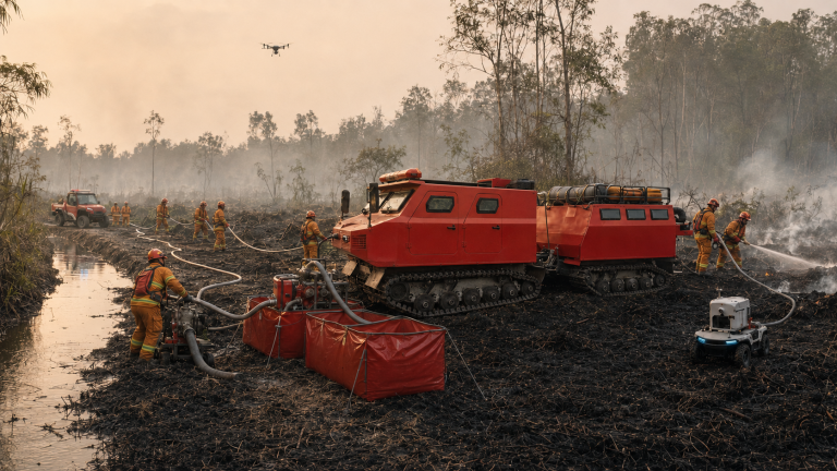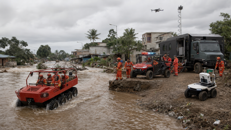











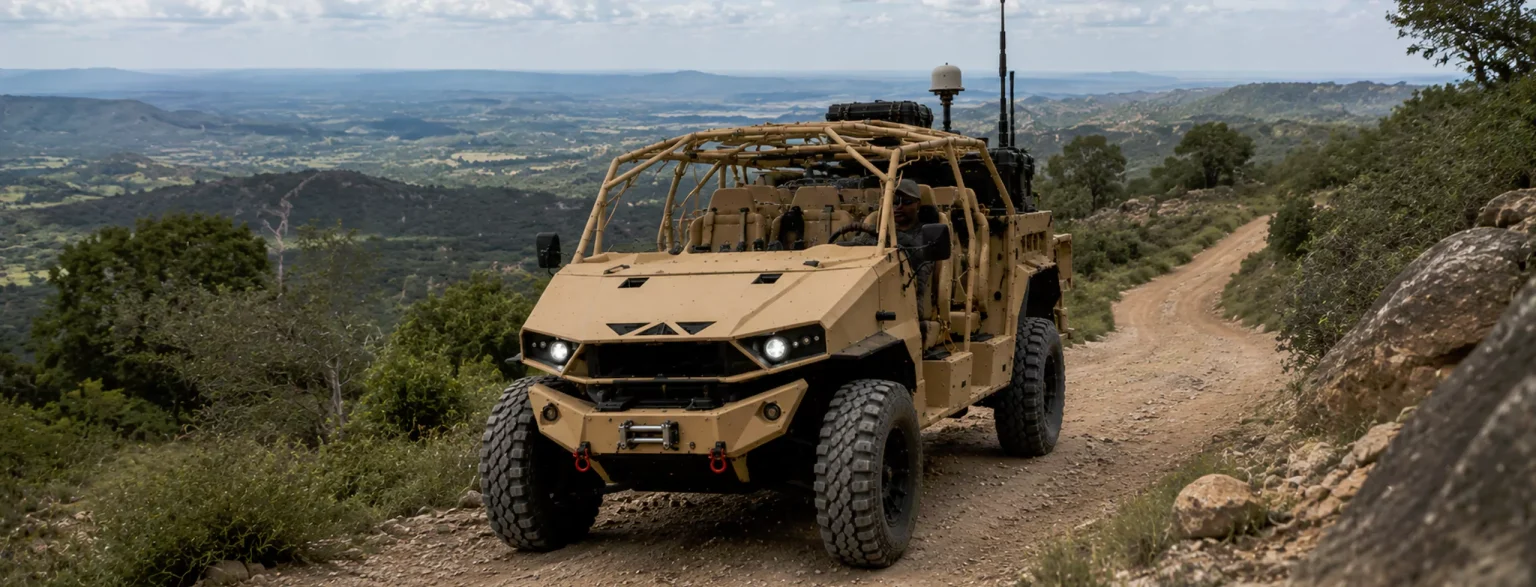
The 15 August 2026 Flores earthquake shows that island disaster response is not one rescue task. A shallow M7.7 event triggered a tsunami warning, persistent aftershocks, structural damage, landslides, mass displacement and a long logistics operation across several regencies. The decisive capability is therefore a connected chain: authoritative warning, safe evacuation, route verification, multimodal supply, last-mile delivery, field data and phased recovery.
The verified event in brief
BMKG reported that the main shock occurred at 04:58:23 WIB on 15 August 2026. The updated magnitude was M7.7, the depth was 15 km, and the epicentre was offshore about 30 km northeast of Nagekeo. BMKG attributed the shallow earthquake to the Flores Back-Arc Thrust. A tsunami warning was issued 2 minutes 16 seconds after the earthquake and ended at 07:30 WIB after monitoring showed no further dangerous sea-level rise. Observed waves nevertheless reached several coasts; BMKG later reported a peak of 1.61 m at Reo/Manggarai and East Manggarai.
The earthquake did not end when the first warning was lifted. BMKG recorded an M5.4 aftershock near Ruteng on 31 August and said the sequence had reached 10,386 events by 14:00 WIB that day. BMKG’s official social update placed the total at 11,185 by 05:00 WIB on 2 September. The largest recorded aftershock remained M6.2.
The latest consolidated impact snapshot reviewed for this article was BNPB data for 30 August, reported by ANTARA: 111 deaths, 1,631 injuries, 188,161 displaced people and 95,567 damaged homes, including 27,414 heavily damaged units. These figures describe a continuing operation, not a closed historical event.
The disaster mechanism is a cascade, not a single shock
| Stage | Operational effect | Decision required |
| Ground shaking and tsunami risk | Immediate life-safety threat; coastal evacuation; structural uncertainty | Follow BMKG warnings, move people away from exposed buildings and threatened coasts |
| Aftershocks | Previously weakened buildings, slopes, bridges and roads may deteriorate | Revalidate routes and facilities; do not treat yesterday’s inspection as permanent clearance |
| Access disruption | Landslides, subsidence and bridge damage reduce corridor capacity | Separate ‘open’ from ‘safe, reliable and suitable for this load’ |
| Mass displacement | Shelter, water, sanitation, health and protection needs grow across many sites | Maintain an updated registry of sites, people, needs and service status |
| Recovery transition | Emergency logistics shifts to damage verification, temporary housing and reconstruction | Preserve evidence, prioritize heavy-damage households and use microzonation in rebuilding |
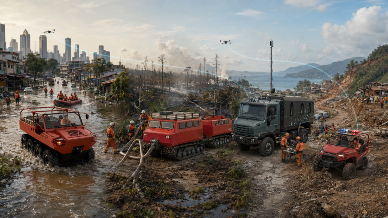
This cascade explains why a single vehicle, drone, software platform or stockpile cannot be described as an earthquake solution. Response capacity comes from interfaces between warning, command, transport, engineering, health, water, shelter and local delivery.
Four operational phases, four different mobility questions
First hours – Can responders evacuate safely, identify blocked routes and keep clear of unstable structures, coastlines and slopes?
First 72 hours – Can people, medical supplies, water, shelter and assessment teams move from airports and ports to district hubs and forward staging points?
Days 4-14 – Can the operation serve dispersed evacuation sites repeatedly, not just reach them once?
Recovery – Can teams verify damage, support temporary housing and rebuild using updated seismic, soil and infrastructure evidence?
Where specialised mobility may help – and where it does not
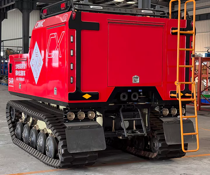
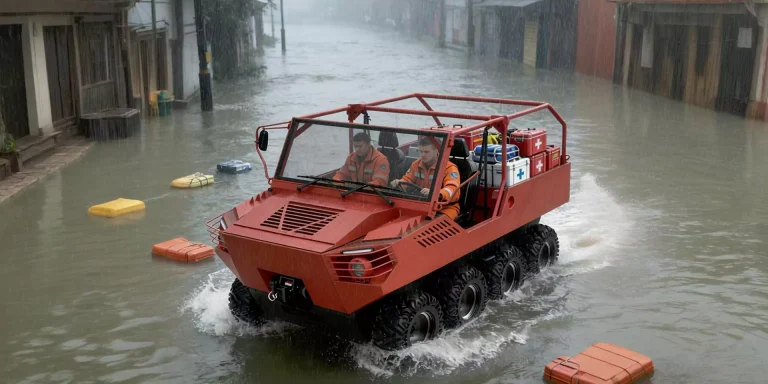
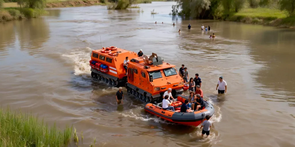
High-mobility vehicles may add value when a verified route is rough, narrow, muddy or capacity-constrained but still physically passable. Compact unmanned platforms may support controlled route observation or light payload delivery where exposing personnel would be unnecessary. A field coordination layer may help maintain route, shelter, team, task and asset status when data is fragmented.
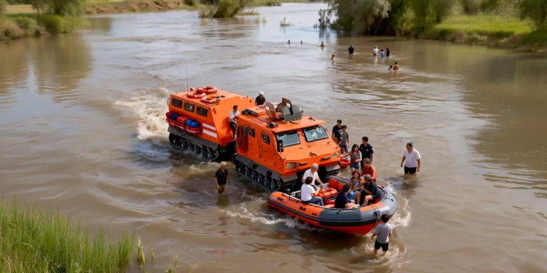
The boundaries matter. An all-terrain vehicle cannot stabilise a landslide, certify a bridge, replace an excavator, treat drinking water or overrule a safety closure. An amphibious platform is relevant only where water or saturated ground actually blocks the mission and where current, depth, debris, bank geometry and exit conditions have been assessed. A UGV is not automatically a certified urban search-and-rescue robot. Software does not create radio or satellite connectivity by itself and must not replace BNPB, BPBD, Pusdalops or BMKG systems.
A practical readiness question for Indonesia
The useful question is not ‘Which vehicle can go anywhere?’ It is: ‘Which combination of warning, route verification, engineering clearance, transport, field coordination and local delivery can keep essential services moving when one corridor, one network or one hub fails?’ That question produces testable requirements instead of disaster-themed marketing claims.
Frequently asked questions
Was the 15 August Flores earthquake a tsunami event?
Yes. BMKG issued a tsunami warning and observed waves at multiple locations. The warning ended at 07:30 WIB after dangerous sea-level changes were no longer detected.
Why were aftershocks still operationally important two weeks later?
They can affect weakened buildings, slopes and infrastructure, change public behaviour and force repeated route and facility checks. BMKG continued to record significant aftershocks through the end of August.
Does reopening a national road mean every community is accessible?
No. A corridor can be open while feeder roads, local bridges, steep approaches or evacuation-site access remain constrained. Load class, weather, aftershocks and turnaround space also matter.
Can one all-terrain vehicle solve earthquake logistics?
No. Vehicle selection must follow a defined mission, route, payload and recovery plan. Engineering plant, conventional trucks, light vehicles, boats, aircraft and local porters may all remain necessary.
What should be updated before publishing this article?
Check the latest BMKG aftershock count and BNPB figures for casualties, displacement, housing damage and emergency status. Keep the date beside every changing figure.
Sources
• BMKG – Flores M7.7 earthquake and initial tsunami warning, 15 August 2026
• BMKG – Tsunami warning ended after the Flores M7.7 earthquake, 15 August 2026
• BMKG – Central and local governments coordinate Flores earthquake recovery
• BMKG – M5.4 aftershock and 10,386-event sequence update, 31 August 2026
• BMKG official update – 11,185 Flores aftershocks through 05:00 WIB, 2 September 2026
• BNPB update reported by ANTARA – impact and displacement snapshot, 30 August 2026