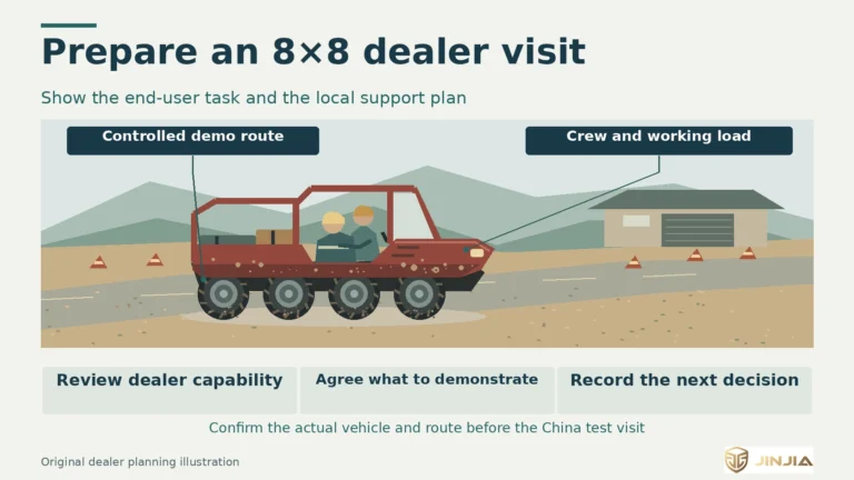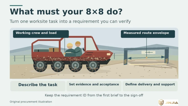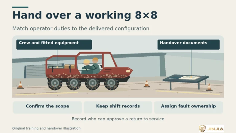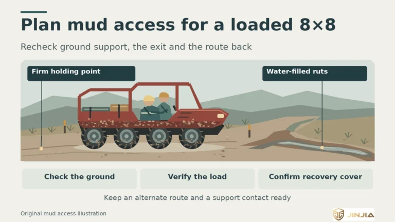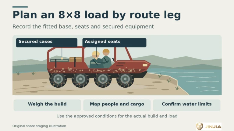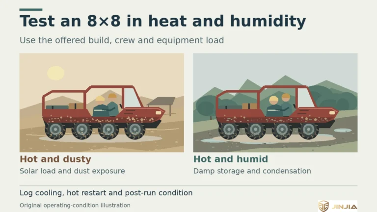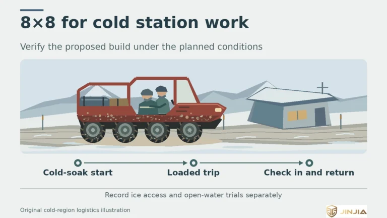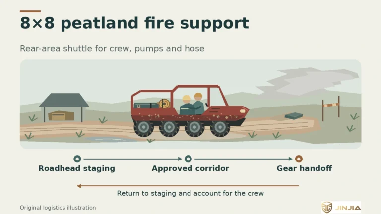


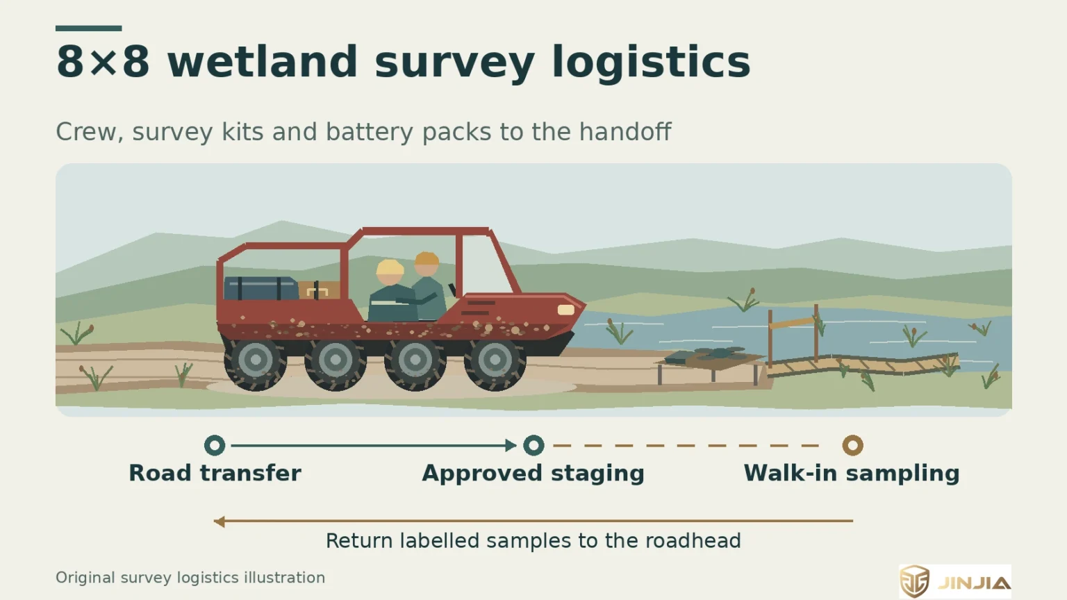
The 8×8 carries survey crew and packed gear to the approved handoff. Keep the sampling leg and return sample load on the field plan.
Define the wetland survey transport task
A wetland survey amphibious vehicle can move a crew, instruments and batteries from a roadhead to an approved transfer point. Start with the shortest vehicle leg that serves the sampling plan. Mark where the survey continues on foot or by an approved boat, and how samples return to the roadhead.
JINJIA 88E is a range-extended electric-drive 8×8. The 88D is a diesel 8×8. Select a proposed build against the actual route, crew and outbound and return loads. Specify any water leg separately because both banks and the loaded vehicle need their own assessment.
Read the moth survey record and the drone study
In its December 2024 review, Wild Haweswater records the Cumbria Connect science team using an eight-wheel Argocat during moth surveys on Mardale Common. The vehicle carried moth traps and batteries to remote survey locations. The project account illustrates a transport task. Payload and route effects of a proposed vehicle need their own evidence. (S48)
In a March 2017 preprint, Lyons and colleagues describe taking an Argo 8×8 650 into a flooded Straw-necked Ibis colony in New South Wales to set up remote cameras and support a drone launch. The 2018 journal article discusses bird interactions and flight planning. The model and vehicle launch image are evidence from the preprint. For a new field assignment, the research team reviews ground access and the drone operation for its own site. (S53 · S54)
Pack survey equipment, batteries and return samples
Build a two-way load list. Include people and their restraints, instrument cases, traps or probes, battery packs, chargers, and any fitted racks. Add the expected return load with containers, wet equipment and sample coolers. Protect probes and cases from movement. Keep clean gear and labelled samples separate from muddy equipment and spent packs. Set the sample handover point and follow the project’s preservation and receipt method. The USGS water-sample manual is one reference when the survey includes water chemistry. (B19-E2)
Check the battery inventory against the field schedule. List which equipment needs spare packs and which needs power at the stop. If a proposed 88E will power chargers while parked, confirm the actual output interface, charger input, protection, simultaneous load and charging window. Confirm the 88D arrangement separately. Plan where packs are inspected, stored and returned under the site procedure. (B19-E3)
Plan ground support for the drone team
Put the pilot’s staging point on the same route map as the instrument transfer. The vehicle can carry the pilot, aircraft case and spare packs to that location. Assign responsibility for unloading, battery exchange, storage of data and return of the kit. The pilot and ecological lead agree the flight area, wildlife response criteria and the conditions for suspending a flight.
Specify this work as crewed ground support. An automatic drone dock, unattended launch, automatic charging or remote fleet integration requires its own design and acceptance evidence. When flight permission or local conditions prevent flying, replan the sampling day around the approved ground method. (S54)
Check how the access route affects habitat
Have the site manager and ecological lead review the route, staging area, turning point and approach to each station. Mark existing firm tracks, sensitive vegetation, buffers and sections closed to wheels. Consider repeated passes, turns and changing water levels. A loaded route check should record rutting, vegetation damage or disturbed drainage along the authorised corridor. NatureScot’s peatland restoration guidance is one reference for considering routes and sensitive ground. (B19-E1)
Agree who can suspend access if ground or wildlife conditions change, and what the team should record before restarting. Define a walk-in or boat handoff for a closed section, where approved. Include equipment and vehicle cleaning at the agreed point before moving between sites.
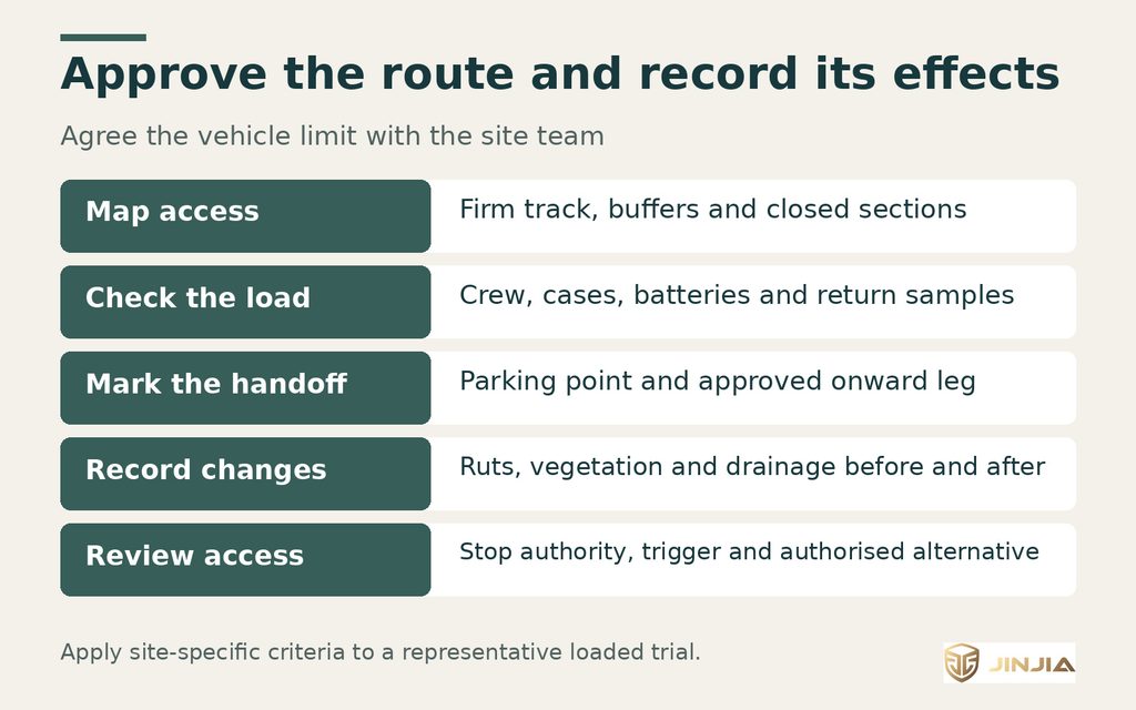
Agree the vehicle boundary and the evidence to record before and after a loaded pass. Arrange the onward handoff within the approved access plan.
Verify the build and the alternatives
Trial the offered build with a representative crew, secured load and gear handoff on the approved route. Include a return load and charging checks when they matter to the schedule. Where a water segment is essential, check access and exit as well as the condition of the banks and the loaded configuration. The team needs its own habitat assessment and operational permission for each access mode.
A road vehicle can serve firm access up to the transfer point. A foot team with lighter kits can complete sensitive stations. A suitable boat may be a better choice for a water sampling leg. Compare feasible options using the time to deliver instruments and recover samples, the number of trips and the recorded effects on the route.
Give procurement a one-page field brief
• Access. Map the roadhead, vehicle corridor, staging and onward leg. Include the approved turning and return points, sensitive areas and route closure criteria.
• People and cargo. State seats and restraints, the outbound kit, the return sample load, and tie-down and sample transfer requirements.
• Power. List chargers, interfaces, expected loads, the stationary work window and the field test required.
• Drone support. Identify the pilot, permitted staging point, ground handling roles and the fallback sampling plan.
• Evidence. Request records from a representative loaded trial, the route inspection and the sample handover. Include any separate approvals required for water access or drone flight.
Send the route, mission load and working conditions to JINJIA for an 8×8 configuration review. For parked electrical loads, see the field power guide. Contact · Field power guide
Frequently asked questions (FAQ)
A: List the actual mass and secure stowage of instruments, charged and spent packs, people, racks and return samples. Match the chargers and return arrangements to the work schedule.
Q: How should ground support for drones be documented?
A: Specify the pilot, permitted staging point, aircraft and battery cases, ground responsibilities, flight suspension conditions and the fallback survey method.
Q: What evidence is needed for effects of routes on habitats?
A: Seek the approved route, baseline observations and a representative loaded pass. Record ruts, vegetation and drainage before and after under the agreed survey method.
Q: Can the 88E power equipment at the staging point?
A: Assess its stationary output with the actual charger, interface and protection. Test simultaneous demand and the work window on the offered build.
Q: What do the two named cases establish?
A: Wild Haweswater records eight-wheel Argocat transport for moth survey equipment. The Argo 650 camera and launch detail is from the 2017 preprint. The 2018 journal article discusses bird interactions and flight planning.
Q: When should the vehicle stop at the handoff?
A: Stop at the agreed vehicle limit. The field plan should name the approved foot or boat transfer for sensitive or closed sections.
Sources and further information
[S48] Wild Haweswater | 2024 project highlights, Mardale Common
[S53] Lyons et al. | Bird interactions with drones, bioRxiv preprint
[S54] Lyons et al. | Bird interactions with drones, Australian Field Ornithology
[B19-E1] NatureScot | Peatland ACTION, access tracks and reinstatement
[B19-E2] USGS National Field Manual | Chapter A5, processing of water samples