

A UGV route assessment should produce a route record that an operator and integrator can review, not simply a line drawn on a map. Record where the vehicle can travel, where it must stop to observe, and how the team will recover it when conditions change. A route that passes a driving demonstration may still fail the inspection task.
This guide uses Delta 150 with a proposed task camera as the planning example. AGV means Autonomous Ground Vehicle in this series; industrial AGV can also mean Automated Guided Vehicle. Route approval depends on the actual vehicle, equipment and operating conditions. The illustrations are concepts, not a surveyed customer site or evidence of completed trials.
At a glance
– Survey the loaded equipment envelope, not just chassis width.
– Separate travel access from usable observation.
– Retain units, conditions, exclusions and recovery ownership.
Contents
1. Measure path width and turning space
2. Record slopes and surface conditions
3. Assess encounters with people and vehicles
4. Define observation stations
5. Plan the return and recovery
6. Complete a route survey record
7. Frequently asked questions (FAQ)
8. Sources and further reading
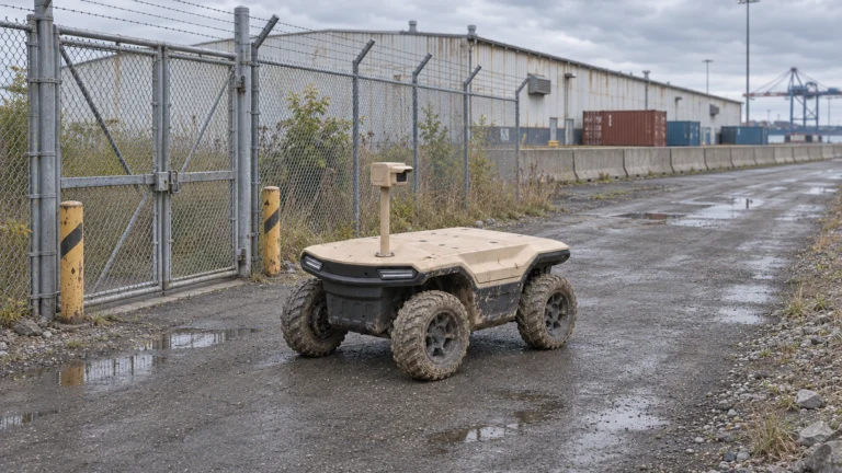
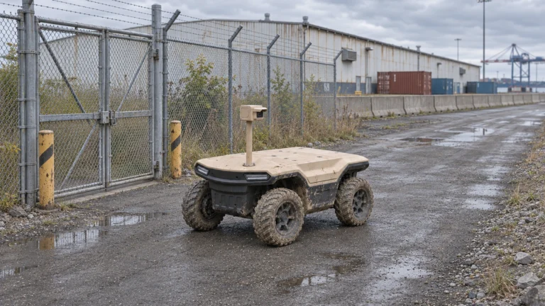
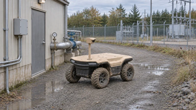
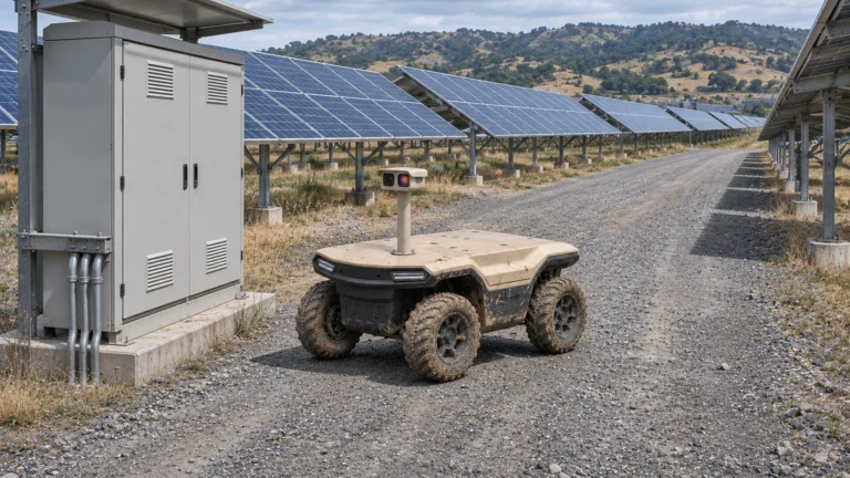
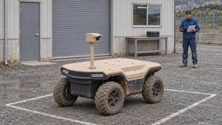
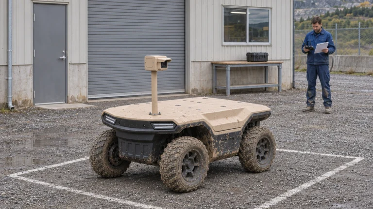
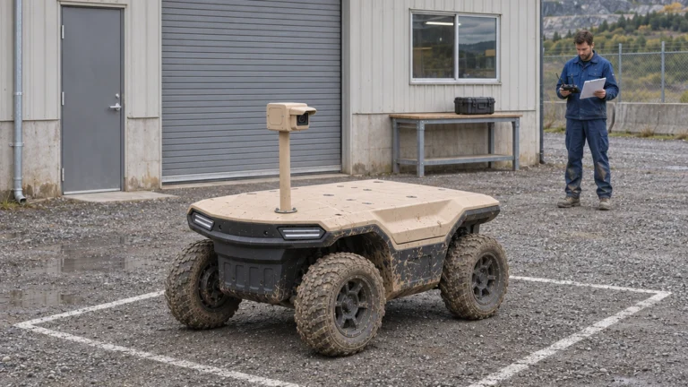
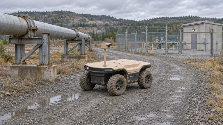
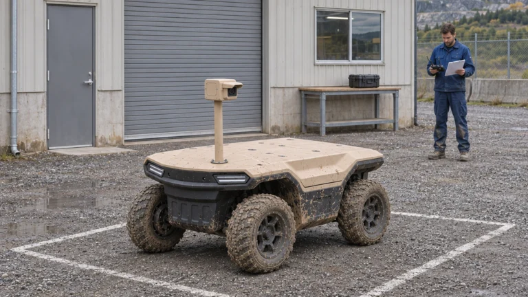
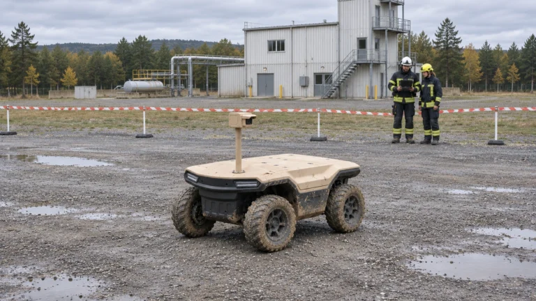
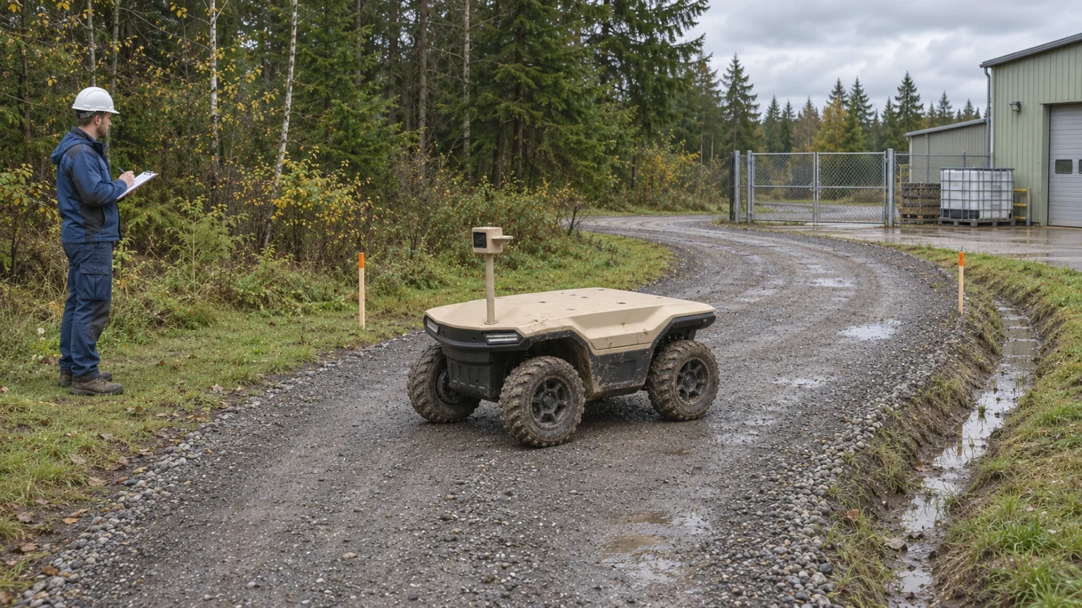
AI concept: proposed task-equipped Delta 150; configuration subject to confirmation.
Measure path width and turning space
Measure the narrowest usable passage, including gate openings, vegetation, temporary storage and edge stability. Record the vehicle’s complete operating envelope with its proposed camera, guards and cabling. Nominal chassis width alone does not describe the space needed beside a ditch or through a partly open gate.
Photograph each turn from both approaches. Check the swept space, mast clearance and the room needed to stop without blocking access. A turning capability stated for the platform does not make every confined turn acceptable. Give each restrictive point an ID, measured dimensions, photograph and proposed action: accept for controlled evaluation, modify, bypass or exclude.
Record slopes and surface conditions
Divide the route into segments with consistent surface conditions. Record longitudinal slope and cross-slope separately, along with loose gravel, ruts, soft shoulders, drainage, standing water and seasonal changes. A dry visit should not be used to approve wet-weather operation. State the survey date and conditions beside each measurement.
Keep slope units explicit. Percent grade and degrees are different quantities; percent grade equals 100 times rise divided by horizontal run. The Bosch GIM 60 manufacturer page illustrates a digital level that can display different units. Record the selected unit and instrument check; this reference supplies neither a Delta operating limit nor a site approval.
Compare the record with confirmed limits for the loaded configuration. Where evidence is missing, mark the segment for controlled verification or exclusion instead of filling the gap with a family-model specification.
Assess encounters with people and vehicles
Observe the route during the intended shift. List pedestrians, delivery vehicles, forklifts, trucks and changing work activities. A quiet survey at midday may miss a shift-change crossing or a loading queue. Identify blind approaches and places where the robot could stop yet remain exposed to traffic.
Prefer a separated route or an agreed time window where the site can provide one. Mark crossings and holding points with a responsible traffic controller or site owner. Do not treat obstacle detection as a substitute for route permission or a complete mixed-traffic procedure. If an encounter cannot be managed, redesign or remove that segment before a trial.
Define observation stations
For every inspection objective, define the observation question, target, camera position and acceptable evidence. Record whether the mast view is blocked by fencing, parked vehicles, vegetation or changing stock. Check both navigation visibility and the task camera’s view; they serve different purposes.
An observation station needs a permitted stopping position, a usable approach and room to leave. Specify required dwell time as a test input rather than assuming a value. Assess lighting and communications at that station. A robot can reach a point while failing to return the readable image or timely information needed by the duty team.
Plan the return and recovery
Survey the return direction separately. Gates may close, traffic may change, and a slope can present different conditions in the opposite direction. Identify recovery access for staff and handling equipment, along with who may authorise a recovery. Do not require a person to enter an uncontrolled traffic lane to retrieve the robot.
Record the agreed response to a blocked route, lost connection, inadequate localisation or insufficient energy. Confirm the actual vehicle behaviour in a controlled test. An automatic-return feature is not permission to assume every return route remains available. Define an alternative observation method and escalation owner when a mission cannot be completed.
Complete a route survey record
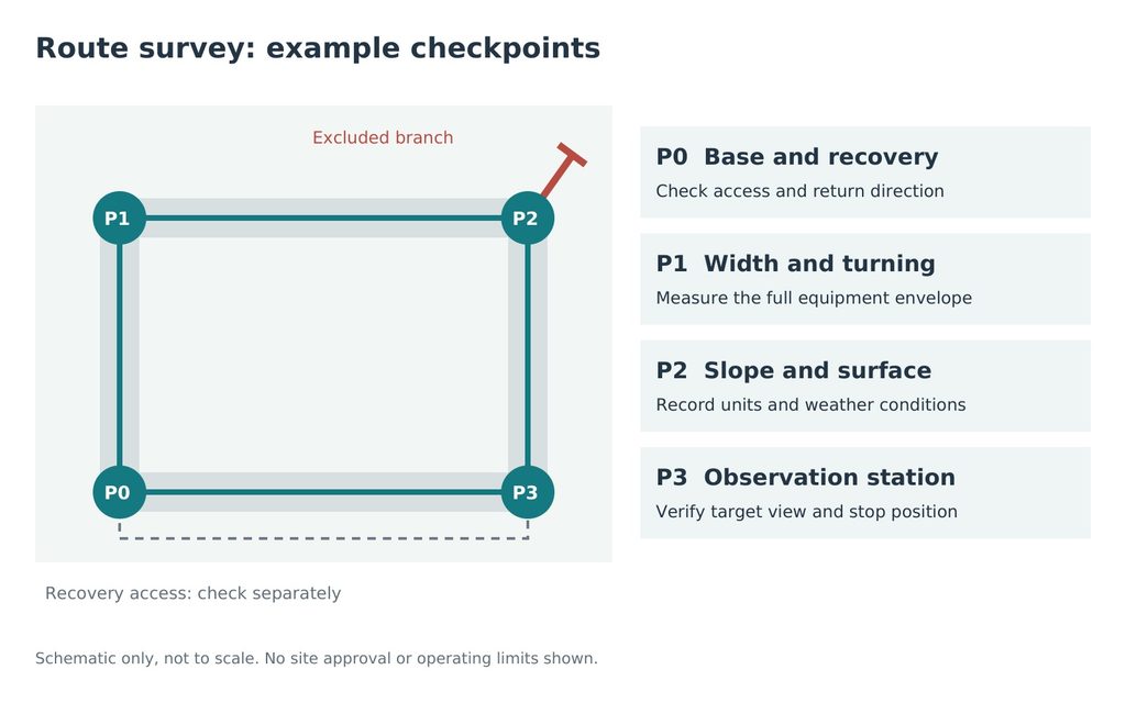
JINJIA planning framework; site-specific evidence is required.
The schematic identifies example checkpoints, not actual coordinates or an approved route. Use the same point IDs in the map, photographs and worksheet. The NIST ground-robot testing programme provides a useful reference for measurable, repeatable capability evaluation; it is not evidence that Delta has passed those tests.
| Record | What to attach |
| Route and segment IDs | Version, date, conditions and direction |
| Restrictions | Measurements, units, photographs and instrument record |
| Observation stations | Target, view, stopping position and required output |
| Traffic and recovery | Owner, crossings, hold points and access |
| Decision | Accept for evaluation, modify, exclude and review trigger |
Set the review trigger before evaluation: route works, changed payload or mast, new traffic, seasonal deterioration or repeated intervention. Keep rejected segments in the record. Discuss the loaded task through the Delta UGV/AGV family page; Delta 500 and Delta 1000 need separate assessments. Send the route, proposed payload, working shift and interface requirements to scope a Delta 150 evaluation.
Frequently asked questions (FAQ)
A: No. Include the complete equipment envelope, turning space, stopping space and usable road edge.
Q: Are percent grade and degrees interchangeable?
A: No. Record the unit explicitly and retain the measurement method and conditions.
Q: Does reaching a checkpoint complete an inspection?
A: No. The task needs a permitted stopping position and usable evidence from the actual task equipment.
Q: Can a dry survey approve wet-weather use?
A: No. Record changed conditions and verify the relevant loaded configuration before extending approval.
Q: Does automatic return remove recovery planning?
A: No. Return access can become unavailable; agree exception response, recovery access and responsibility.
Q: What should the first route submission contain?
A: A route sketch with point IDs, measurements and units, photos, proposed payload, shift, traffic and interface needs.
Sources and further reading
1. Bosch — GIM 60 digital inclinometer
Example of an angle-measurement tool. It does not establish a robot slope limit or imply a product partnership.
Reference for evaluation topics and test planning; actual route acceptance remains site-specific.
3. JINJIA — Delta UGV/AGV product family
Product-family context. The proposed task equipment and operating functions require confirmation for the supplied configuration.