

An autonomous forest patrol robot becomes useful when a forest operator can connect a specific observation to a person who will act on it. Start with one maintained road, a small set of observation points and a defined shift. Then establish what the robot should record, what it must avoid and what happens when the route or connection becomes unavailable.
Delta 150 is considered here as a compact wheeled UGV for a proposed camera-equipped forestry mission. AGV means Autonomous Ground Vehicle in this series; industrial AGV can also mean Automated Guided Vehicle. The name does not establish the delivered level of autonomy. The following plan is an assessment framework, not a report of a customer deployment.
At a glance
– Define four forestry tasks and their users.
– Accept one route before expanding coverage.
– Include people, communications and energy in the service plan.
Contents
1. Identify the coverage gaps in forestry operations
2. Separate road, yard, camp and equipment tasks
3. Define four forestry tasks and their outputs
4. Choose one route and its operating boundary
5. Plan people, communications and replenishment
6. Prepare a pilot task card and acceptance record
7. Frequently asked questions (FAQ)
8. Sources and further reading
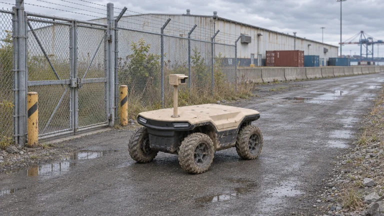
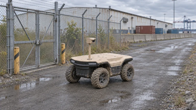
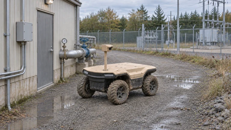
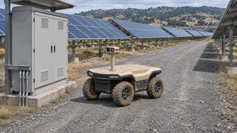
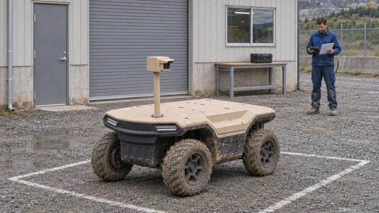
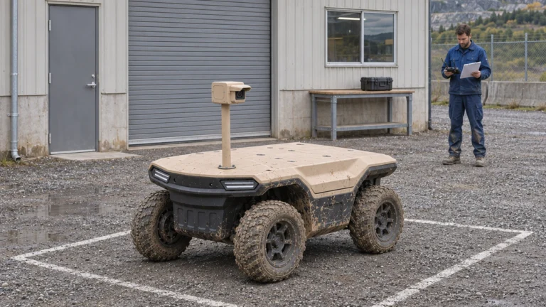
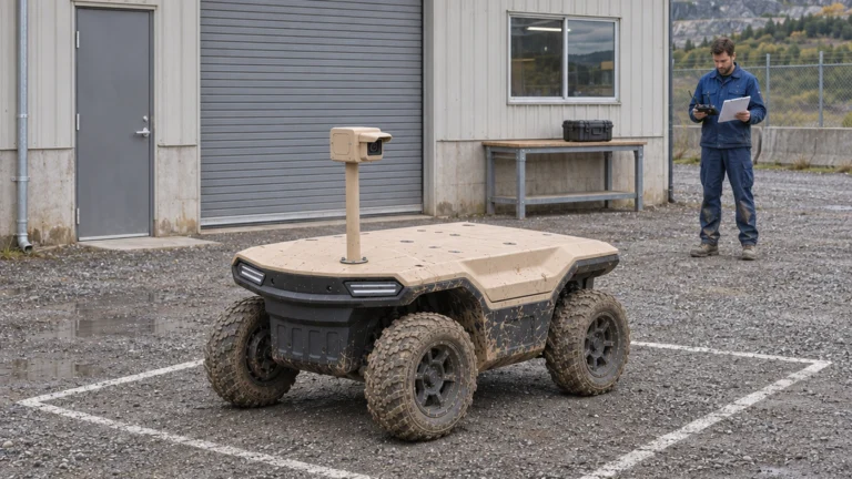
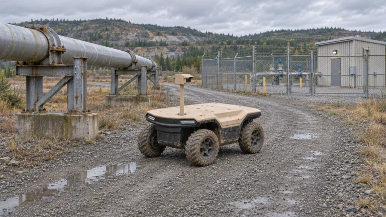
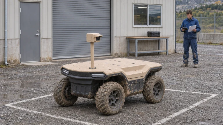
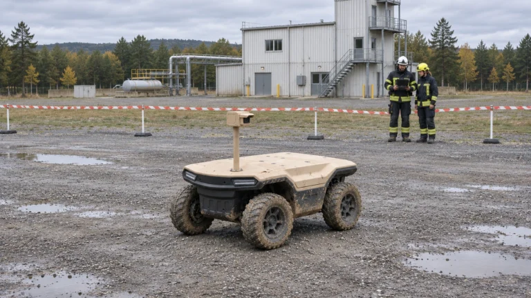
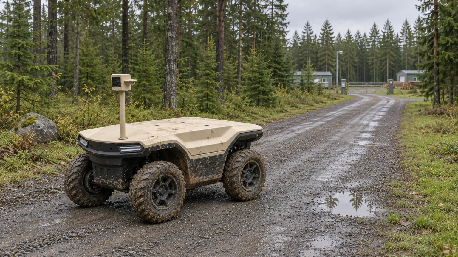
AI concept: proposed task-equipped Delta 150; configuration subject to confirmation.
Identify the coverage gaps in forestry operations
Distributed roads, workshops and log yards leave different observation gaps. Record where a fixed view is blocked, where a visit is delayed and which events currently require a person to travel. A mobile camera can be evaluated for a changing viewpoint; it should not be assumed to replace every fixed sensor or patrol team.
Create a baseline before discussing savings: required observations per shift, observations actually completed, time to review and time to reach an exception. Record the event types and consequences of missing a view. A repeated empty image is not necessarily useful coverage. The buyer needs evidence that the record supports an operational decision.
Separate road, yard, camp and equipment tasks
A forestry road task concerns approved roadside observations and access conditions. A log-yard task concerns repeatable views of boundaries and equipment. A camp task concerns permitted entrances, external assets and handover records. Each has a different traffic pattern, privacy boundary and reviewer.
Do not route a small robot through loading areas simply because those assets appear on the map. Mark loader operating zones, truck turning space, workshops and pedestrian entrances. Select observation positions outside those movements. Maintenance staff still interpret equipment condition and authorise work; the patrol produces a record for that process.
Define four forestry tasks and their outputs
Four tasks provide a practical starting list: observe timber transport from authorised points, inspect the agreed forest-road route, record log-yard changes and verify a reported alarm. Treat them as separate outputs even if they share a vehicle and camera.
| Task | Required output | Review owner |
| Timber transport observation | Time-linked vehicle record and review status | Authorised transport or security staff |
| Road patrol | Point-by-point views and inaccessible sections | Site operations |
| Log-yard monitoring | Repeatable views and exception record | Yard supervisor |
| Alarm verification | Linked event with confirmed, unclear or unreachable result | Duty operator |
A picture of timber is not a measured stock volume. A truck image is not proof of theft. Keep uncertainty and the source of any matching rule in the event record.
Choose one route and its operating boundary
Select one route with a versioned map, start and return points, observation stops and forbidden segments. Survey it with the actual fitted configuration in mind: tyre condition, sensor mounting, vegetation, surfaces and recovery access all matter. Describe the weather and traffic conditions in which the route may be used.
For each segment, decide whether it is accepted, conditional or excluded. Link a conditional segment to a specific action, such as closing a loading area during the patrol window. Do not count an untested shortcut as a recovery route. If the required viewpoint cannot be reached within the agreed boundary, change the task instead of silently widening the route.
Plan people, communications and replenishment
Continuous site coverage is a service objective, not evidence of continuous driving by one battery-powered vehicle. Include charging, camera cleaning, maintenance, operator availability and retrieval in the shift plan. Confirm the energy balance using the actual equipment and representative duty cycle.
Map communications at observation points and along the return path. Cellular service or an optional satellite link needs its own equipment, power, antenna placement and integration assessment. A coverage map alone does not demonstrate usable video or remote control. Agree the response to lost communications, unavailable localisation and a blocked return before the trial; do not invent a universal fallback manoeuvre.
Prepare a pilot task card and acceptance record
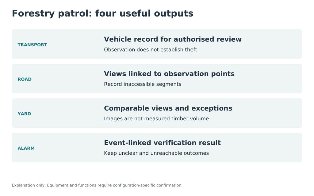
JINJIA planning framework; site-specific evidence is required.
Use a short task card to align the operational owner, integrator and reviewer. Record current performance, proposed output, route version, equipment, supervision, energy arrangements and the evidence needed for a decision. Keep failed visits and interventions alongside successful records.
| Acceptance question | Evidence to collect |
| Was each required view obtained? | Timestamped file and observation-point ID |
| Could the reviewer use it? | Review outcome and missing detail |
| Could exceptions be handled? | Intervention, recovery and missing-data log |
| Is the service practical? | Support time, replenishment and unresolved constraints |
Use the Delta UGV/AGV family page to discuss configuration. Delta 500 and Delta 1000 remain separate options for larger equipment or logistics; their limits need their own evidence. Send the route, patrol frequency, current response process and network information to prepare a Delta 150 assessment. Detailed timber, yard and alarm articles form the following branches of this series.
Frequently asked questions (FAQ)
Q: Can one robot provide continuous coverage?
A: Only a verified service plan can establish coverage. Include charging, downtime, supervision and recovery; continuous coverage does not mean uninterrupted single-vehicle driving.
Q: Is every forest track suitable?
A: No. Accept routes individually for the fitted configuration and operating conditions; exclude segments without safe access and recovery.
Q: Does forestry AGV mean full autonomy?
A: No. AGV means Autonomous Ground Vehicle here; supplied driving functions, permitted conditions and human takeover must be confirmed.
Q: Is a navigation camera enough for patrol evidence?
A: Only if its real image and recording output meet the task. Specify the observation camera, mount, detail and review workflow separately.
Q: Can timber images establish stock volume?
A: Ordinary patrol images record appearance. Inventory measurement needs a separately defined method, equipment and validation.
Q: What should a buyer send first?
A: A route map, observation targets, required patrol frequency, current response process and communications information, with known exclusions.
Sources and further reading
1. JINJIA — Delta UGV/AGV product family
Product-family context. The proposed task equipment and operating functions require confirmation for the supplied configuration.